Sarah had been looking forward to this hike for months, ever since she'd decided to return to Grandfather Mountain alone for the first time since her father's funeral.
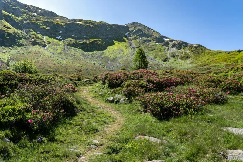
 Photo: Grandfather Mountain, via grandfather.com
The Boone Fork Trail had been a family tradition—every August, they'd make the drive from Charlotte to the Blue Ridge Parkway and spend three days camping and hiking the same familiar loop. Her parents, her younger brother Danny, and Sarah, all following the orange blazes that marked the 2.3-mile trail through rhododendron tunnels and along the creek that gave the trail its name.
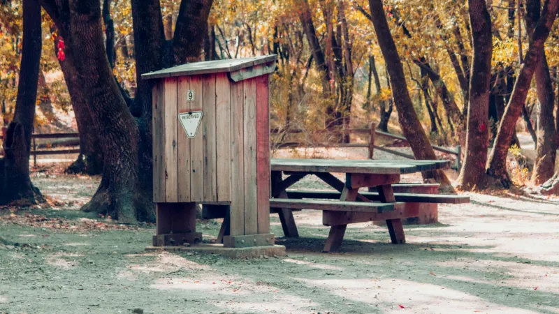
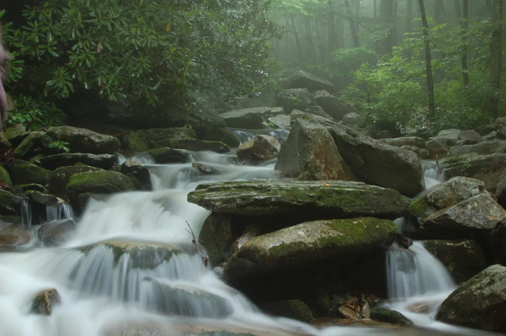 Photo: Boone Fork Trail, via diamondbrandoutdoors.com
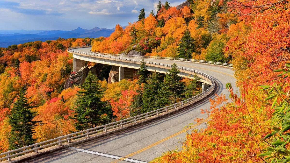 Photo: Blue Ridge Parkway, via www.gannett-cdn.com
She parked in the same gravel lot they'd always used, noting how much smaller it seemed now. The wooden trail marker was newer than she remembered, but the carved letters still read "Boone Fork Trail - 2.3 miles - Moderate." The same warnings about bear activity and staying on marked trails.
Sarah shouldered her day pack and started up the familiar path.
The Blazes Look Fresh
The first orange blaze was exactly where it should be, painted on a white oak about fifty yards from the trailhead. But something about it caught her attention as she passed. The paint looked fresh—not the faded, weather-worn orange she remembered from childhood. This was bright, almost fluorescent, as if someone had repainted the entire trail recently.
She shrugged it off. The park service probably maintained the blazes regularly. It made sense that they'd look different after twenty years.
The second blaze was on a rock outcropping that had always served as a natural rest stop. Sarah remembered sitting here with Danny, sharing a sleeve of saltines while their parents checked the map. But the blaze was positioned differently than she recalled—higher up on the rock face, and there was something odd about the paint itself. It seemed to shimmer slightly, like it contained flecks of metal.
The trail curved left here, following the contour of the ridge. Sarah knew this part well—in another quarter mile, she'd reach the wooden footbridge over Boone Fork Creek, then the trail would switchback up toward the overlook where they'd always eaten lunch.
But when she looked ahead, the orange blaze on the next tree was pointing straight.
Following the Wrong Direction
Sarah stopped walking and pulled out her phone to check the trail map she'd downloaded. According to the GPS, she was exactly where she should be, but the trail was supposed to curve left toward the creek. The blaze ahead was clearly indicating she should continue straight, into a section of forest that looked denser and darker than she remembered.
She stood there for several minutes, listening to the silence. That was the first thing she noticed—the complete absence of birdsong. The Blue Ridge Mountains were usually alive with sound: wrens, cardinals, the occasional woodpecker. But here, the forest was perfectly quiet.
Sarah decided to trust the blazes. Maybe the park service had rerouted the trail for environmental reasons. It happened sometimes, especially in areas prone to erosion.
She continued straight, following the orange markers deeper into the woods.
The trees here were different—older, with thick trunks that blocked most of the sunlight. Rhododendron bushes grew in dense clusters, their dark green leaves creating natural tunnels that the trail wove through. The blazes appeared regularly, every hundred feet or so, always pointing forward into the increasingly dense forest.
After what felt like an hour of hiking, Sarah checked her phone again. No GPS signal. The trail map showed her position as a blinking dot in an area marked simply as "Wilderness - No Maintained Trails."
The Bootprints in the Mud
The trail began to descend, following what might have been an old creek bed. The ground was soft here, muddy from recent rain, and Sarah could see bootprints pressed into the dark soil. Fresh prints, made within the last day or two.
She knelt down to examine them more closely and felt her stomach drop.
They were her bootprints. Same tread pattern, same size. But they were pointing in the opposite direction, as if she had already walked this way and was heading back toward the trailhead.
Sarah looked behind her, then ahead. She had definitely been walking downhill for the past twenty minutes. These prints showed someone walking uphill, back the way she had come.
She stood up slowly, scanning the forest around her. Still no birdsong. Still no sound at all except for her own breathing and the soft whisper of wind through the rhododendron leaves.
Another orange blaze caught her eye, painted on a massive oak tree about fifty yards ahead. She walked toward it, her boots squelching in the mud, adding fresh prints to the trail.
The Fire Ring That Shouldn't Be There
The trail opened into a small clearing where someone had built a fire ring from carefully arranged stones. Gray ash filled the circle, and Sarah could smell the lingering scent of wood smoke. Recent wood smoke, as if the fire had been extinguished just hours ago.
But camping wasn't allowed in this section of the park. Sarah was sure of that. And according to her phone, she was now several miles beyond any official trail boundary.
She circled the fire ring, looking for clues about who might have been here. No trash, no forgotten camping gear. Just the ring of stones and the smell of smoke that seemed to grow stronger rather than fade as she breathed it in.
On the far side of the clearing, another orange blaze marked a tree at the edge of the forest. The trail continued deeper into the mountains.
Sarah checked her phone one more time. 3:47 PM. She'd been hiking for over four hours, which should have been impossible on a 2.3-mile loop trail. But the orange blazes kept leading forward, and something about the way they caught the filtered sunlight made it difficult to look away from them.
She followed the next blaze into the trees.
What the Elevation Told Her
The trail climbed steeply now, switchbacking up the side of a ridge that didn't appear on any map Sarah had ever seen. Her legs burned from the ascent, and her water bottle was nearly empty. The orange blazes continued to appear with mechanical regularity, always pointing upward.
At what felt like a significant elevation gain, the birdsong stopped completely.
Not gradually, the way it might as evening approached or weather changed. It stopped all at once, between one step and the next, as if someone had flipped a switch. Sarah paused, listening to the sudden quiet, and realized she could no longer hear the wind.
The next blaze was painted on a tree that looked wrong somehow. The bark was too smooth, too uniform, like something that had never really grown. When Sarah reached out to touch it, her hand passed through empty air. The tree was there, solid enough to cast a shadow, but her fingers encountered nothing.
She jerked her hand back and looked around the forest with new attention. All the trees looked the same now—perfectly spaced, perfectly uniform, like a photograph that had been copied and pasted to fill a landscape.
The orange blaze shimmered on the impossible tree, pointing toward a trail that continued up the ridge.
Sarah doesn't remember making the decision to keep walking, but she must have, because when she finally came back to herself, she was sitting in her car in the parking lot with her keys in her hand and no memory of the return hike.
Her phone showed 6:23 AM on Wednesday morning.
She had started hiking on Monday afternoon.
The Boone Fork Trail marker still read "2.3 miles - Moderate," but when Sarah looked toward the trailhead, she could see fresh orange blazes painted on the trees, bright and metallic in the early morning light, leading into the forest in a direction that didn't match any trail she'd ever known.