Every Map Calls It Something Different — And the Sign Was Freshly Painted When I Got There
I want to be upfront about something: this started as a hobby. Not ghost hunting, not anything dramatic — just me, a spreadsheet, and a mild obsession with the way rural infrastructure gets mislabeled across different map editions. County roads renamed after a commissioner dies. Bridges that appear on one USGS quad and vanish from the next. That kind of thing. It's the sort of project that sounds boring at dinner parties, which is probably why I never mentioned it.
I'd been cross-referencing bridge names in Audrain County, Missouri for about three months when I noticed the one on Calvert Road.
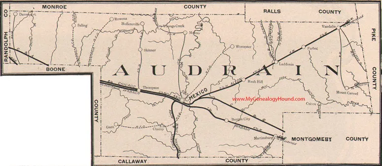 Photo: Audrain County, Missouri, via www.mygenealogyhound.com
On the 1941 USGS survey, it's labeled the Hester Ford Crossing. A 1967 Missouri DOT regional map calls it the Calvert Branch Bridge, which is the kind of generic name that makes sense and suggests someone just stopped trying. A digitized AAA road atlas from 1983 — I found it through a university library archive — lists it as Morrow's Bridge. No explanation. No footnote. A 2004 county GIS export I got through a records request calls it the Calvert Road Low-Water Structure, which isn't really a name at all. And the current Google Maps label, which I checked maybe six times because I thought I was misreading it, just says Old Trace Crossing.
 Photo: Calvert Branch, via media.wusa9.com
Five different names across eight decades. None of them matching each other. For most of the bridges I'd catalogued, a discrepancy like that would mean a clerical error, a resurvey, a local name versus an official one. The kind of thing you note and move on from. But Calvert Road nagged at me, partly because of how consistent the inconsistency was — every single source had chosen a completely different name, as if each mapmaker had looked at the bridge and made something up — and partly because of something I found in a digitized copy of the Audrain County Clarion from August 1938.
A drowning. A twelve-year-old named Ellis Morrow, who went into Calvert Branch during a flood and didn't come out. The bridge wasn't built until 1941. The boy drowned at the crossing three years before there was anything there to cross on.
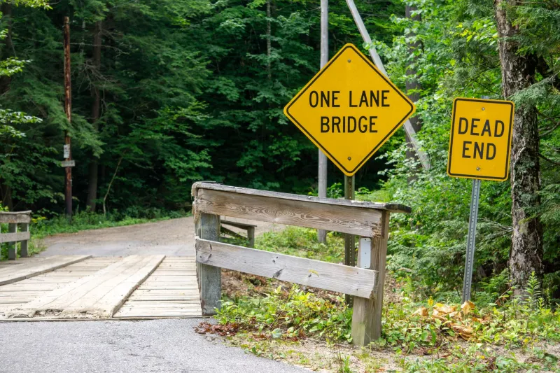
I drove out on a Thursday morning in early April. The road is gravel past the county line, the kind that pops under your tires and makes you feel like you're going somewhere you weren't supposed to find. The bridge itself is small — one lane, concrete railing, the kind of structure that exists in the ten thousand places between towns that nobody photographs unless they have a reason. It was a gray day, not raining but threatening it, and the creek below was running high and brown from recent weather.
The sign on the railing was aluminum, standard county-issue, bolted through with two hex screws. And the paint was fresh. I mean visibly, chemically fresh — I could smell it from six feet away, that sharp petroleum edge that new paint has before it cures. The letters were neat and dark and had not been there long.
The sign said MORROW'S CROSSING.
I stood there for a while. I took photos. I checked the GIS record on my phone, which still said Calvert Road Low-Water Structure. I looked at the creek. The water was moving fast and the color of old pennies and I did not look at it for very long.
Here's the part I keep turning over: I had not told anyone I was going. The records request I'd filed was generic, covering twelve bridges in the county. Nothing in my search history would have flagged this specific location to anyone paying attention. And yet someone had driven out to that bridge — at some point in the last day or two, given the paint — and bolted up a sign bearing the name of a boy who drowned nearby in 1938, a name that appeared on exactly one map edition, from 1983, which I had accessed through a university archive that logs maybe forty users a year.
I've gone back twice since then. The sign is still there. The paint is weathering now, the way paint does. It looks like it's always been there.
I filed another records request asking about recent signage work on Calvert Road. The county responded that no maintenance had been scheduled or performed on that bridge in the current fiscal year. I asked if there was a historical record of the bridge ever being named Morrow's Crossing officially. They said no.
I still have the spreadsheet open. I haven't added the Calvert Road entry to it yet. I'm not sure what column I'd put it in.